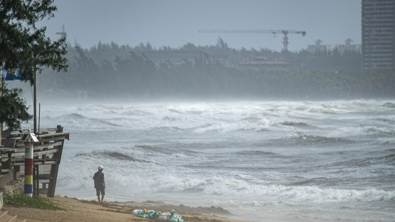
Hey folks, heads up! Typhoon Wutip — the first storm of the year — is gearing up to make landfall on Hainan early Friday. With winds reaching 25-28 m/s, it’s a reminder to stay alert and be prepared. 😊
China's National Meteorological Center shared that the storm is expected to hit along the coast between Lingshui and Ledong. As a precaution, railway services on Hainan have been suspended since Thursday afternoon, with some trains likely resuming by Saturday.
But that’s not all: Wutip is also set to make a second landfall along the coast from western Guangdong to the Guangxi Zhuang Autonomous Region on Saturday. As it moves northeast after touching land, its strength will gradually wane. However, heavy rainfall is forecast from June 13 to 14, with some areas expecting up to 400-700 mm of rain. Time to keep those umbrellas handy! ☔
Stay safe, keep an eye on local weather updates, and take care out there!
Reference(s):
Typhoon Wutip expected to make 1st landfall in S China's Hainan
cgtn.com


