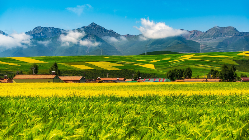
In a cool blend of tech and nature, Chinese scientists have rolled out a cutting-edge dataset tracking cultivated pastures on the stunning Qinghai-Xizang Plateau—often called "the roof of the world." Using satellite remote sensing, this project marks a leap forward in ecological protection, offering fresh insights to help safeguard one of our planet's most fragile landscapes.
The breakthrough study, a collaborative effort by researchers from Lanzhou University, Peking University, and the Chinese Academy of Sciences, was published in Earth System Science Data. It leverages advanced satellite imaging to monitor pasture changes, making it easier for experts to understand environmental shifts and plan better conservation strategies.
For tech enthusiasts and eco-warriors alike, this innovation is a reminder of how digital tools can drive positive change. Imagine high-res satellite visuals painting a real-time picture of nature—helping communities and policymakers make informed decisions for a sustainable future 🌱!
This achievement underscores the exciting role of remote sensing in environmental science. It simplifies complex ecological data into easy-to-understand visuals, paving the way for dynamic responses to climate challenges. Stay tuned as technology continues to power our journey toward a greener, more resilient world.
Reference(s):
Pasture dataset boosts eco‑protection on Qinghai‑Xizang Plateau
cgtn.com


