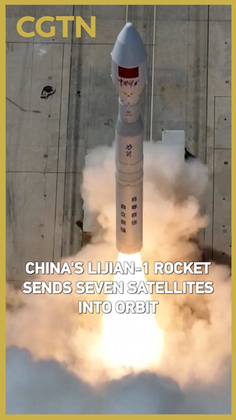
Hey space fans 👋! On Tuesday at 15:33 Beijing Time, a Lijian-1 Y10 carrier rocket soared from a commercial aerospace innovation zone in the Chinese mainlands northwest. 🚀 In just minutes, it released seven new satellites into orbit, marking another leap in accessible space tech.
These satellites are designed for high-res Earth imaging, climate tracking, and boosting connectivity in hard-to-reach areas. From sharper flood forecasts during Bangladeshs monsoon season to real-time air quality alerts in Jakarta, the data is set to empower communities across South and Southeast Asia.
Why It Matters
- Next-gen Earth Watch: HD imagery for monitoring floods, haze, and environmental hotspotsfrom Vietnamese coastlines to Malaysian rainforests.
- Data Power: Expanded bandwidth means smoother e-learning in rural India and smarter IoT applications, like precision farming in Vietnam.
- Commercial Push: A win for private aerospace on the Chinese mainland, showing how startups and innovation hubs are democratizing space access.
For young tech enthusiasts from New Delhi to Jakarta, this launch is a reminder: the space frontier isnt just for established agencies. Its a global arena for innovators, entrepreneurs, and dreamers 🛰️✨. Stay tuned as these satellites beam new insights back to Earth!
What part of this space tech boom excites you most? Drop a comment below and lets chat! 💬
Reference(s):
cgtn.com


