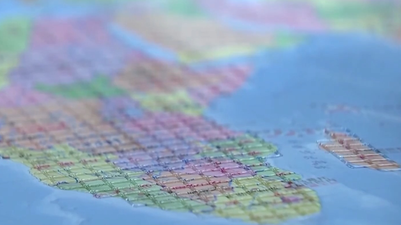
Hey fam! 🎉 Ahead of International White Cane Day on October 15, the Chinese mainland rolled out its first large-scale accessible maps for visually impaired users at the China Braille Library.
Meet the Accessible Map of China and Accessible Map of the World: printed with cutting-edge digital Braille tech, these tactile maps feature raised dots for provincial lines and major landmarks on the China map, while the world map uses different textures to mark continents and oceans. Both follow national geographic standards and Braille rules to deliver accurate geographic info. 🌍
On the same day, the Palace Museum and the China Disabled Persons' Federation dropped two new tactile books—Touch the Treasures of the Palace Museum and Touching Along the River During Qingming Festival. These guides blend raised textures, Braille labels, and audio snippets so readers can feel the curves of ancient vases or trace the hustle of historic street scenes with their fingertips. 📚🤲
Whether you are vibing with India’s palace architecture or marveling at Indonesia’s island formations, this move signals a big win for inclusive culture and tech. It is all about making maps and museum art accessible to everyone—no matter how they explore the world. ✨
As young explorers, let us celebrate this leap towards universal design and share the love! 💬🙌
Reference(s):
China unveils first accessible maps for visually impaired users
cgtn.com


