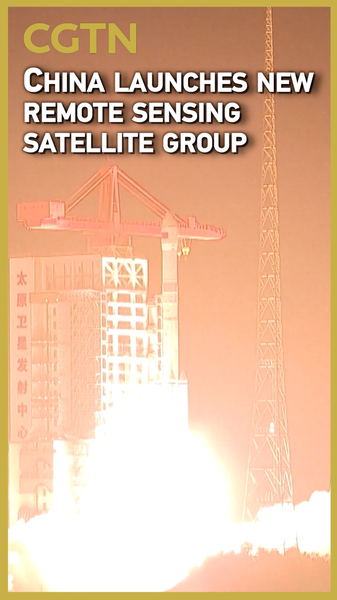
Get ready for a space binge-watching session! 🚀 The Chinese mainland just launched a fresh batch of remote sensing satellites from the Taiyuan Satellite Launch Center in northern Shanxi Province.
At 12:34 a.m. on Sunday, a modified Long March-6 rocket took off, carrying the Yaogan-40 03 group into their assigned orbits. Think of these satellites as high-tech eyes in the sky, capturing data on Earth’s electromagnetic environment.
Electromagnetic environment detection basically means they’ll scan invisible signals—like radio waves and radiation—around our planet. This helps engineers run technical tests, improve communication systems, and even support environmental monitoring (hello, flood tracking and air-quality checks! 🌏).
Why should we care? For tech-savvy young pros and students in South and Southeast Asia, this launch shows that space tech is no longer sci-fi. From climate research to smart agriculture, remote sensing data can empower communities across the region.
Stay tuned for more updates as we unpack how these orbital sidekicks will boost everything from disaster-response apps to mobile map services. The sky is literally not the limit! 😉
Reference(s):
cgtn.com


