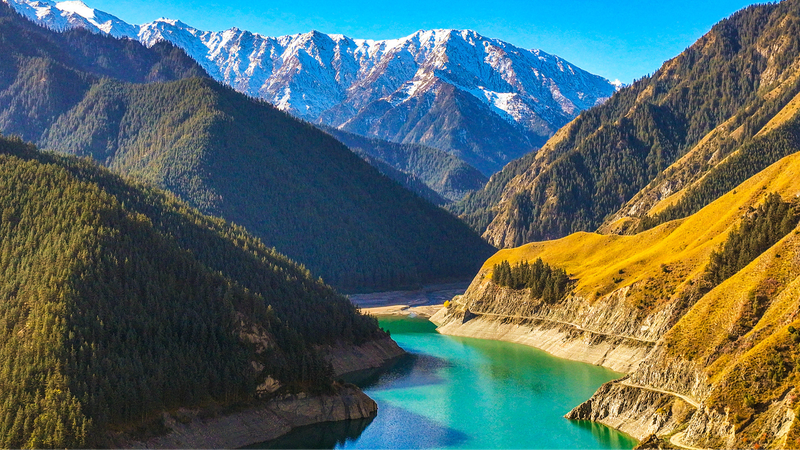
Hey everyone! 🌄💧 Ever wondered how the Qilian Mountains in the Chinese mainland keep Asia’s taps flowing? A team of Chinese scientists just dove into the hillslopes of this vital region, unveiling insights that could reshape water resource management and ecological engineering planning.
Their secret weapon? A detailed hillslope evaluation—think of mountain slopes like sponges that soak up snowmelt and rain, then slowly release it downstream. By mapping slope angles, soil types, and water pathways, researchers can predict where water pools, seeps, or runs off fastest.
Why does this matter? The Qinghai-Xizang Plateau is often called the “Asian Water Tower.” Its meltwater feeds countless rivers and keeps millions of people across South Asia and Southeast Asia hydrated, especially during dry spells and monsoon season. Smarter slope management means healthier watersheds for farmers, city-dwellers, and wildlife alike.
But it’s not just fancy data and maps. These findings feed directly into ecological engineering planning—imagine terraced reforestation projects or tailored check-dams that lock in water and prevent soil erosion. It’s nature-first infrastructure for a changing climate.
Bottom line: As weather patterns shift, these new hillslope insights are a game-changer for policymakers, engineers, and local communities. Keeping the “Asian Water Tower” flowing strong is crucial for clean water, agriculture, and resilience across the region. 💪🌏
Stay tuned for more bite-sized science from the peaks! ✨
Reference(s):
Chinese scientists analyze key water source on Qinghai-Xizang Plateau
cgtn.com


