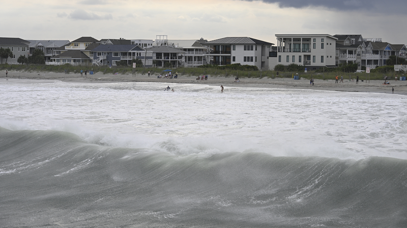
Heads-up, friends! Hurricane Erin is spinning hundreds of miles offshore in the Atlantic 🌪️. It’s set to roll north and shake up the US East Coast with dangerous storm surge and tropical storm winds.
What is storm surge? Think of it as the sea level rising dramatically—like a surprise giant wave—pushing water inland. Erin’s surge could flood low-lying spots, especially around North Carolina’s Outer Banks, where the barrier islands are just inches above sea level.
Alongside the surge, tropical-storm-force winds (39–73 mph) may lash coastal communities. Expect heavy rains, falling branches, and possible power outages. Even if you’re halfway across the globe, it’s a reminder to track weather alerts—your favorite apps (like AccuWeather or India Meteorological Department updates) have got your back!
Whether you’re planning a US East Coast trip or just catching the news between TikToks, keep an eye on official updates and stay safe. For now, send good vibes (and extra batteries for your power banks) to everyone in Erin’s path! 📱⚡️
Reference(s):
Live: Erin offshore in Atlantic, triggers storm surge in the U.S.
cgtn.com


