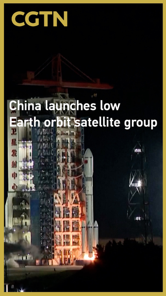
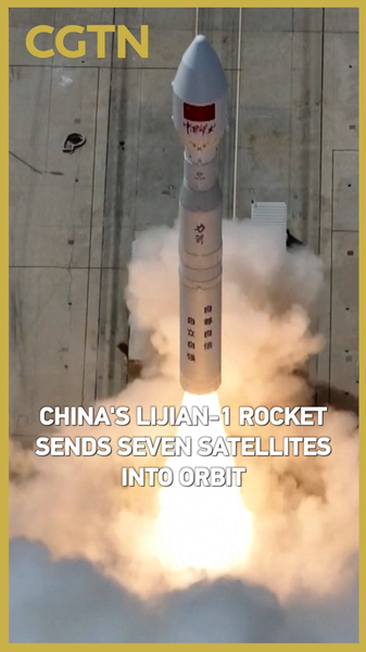
At 10:15 p.m. Beijing Time on Sunday, the Chinese mainland launched a fresh group of low Earth orbit satellites from the Taiyuan Satellite Launch Center in northern Shanxi Province. A modified Long March-6 rocket carried them skyward, and they slid into their preset orbits like clockwork! 🚀
So, what’s the big deal? Low Earth orbit (LEO) sits just under 2,000 kilometers above us—pretty low for space—and is perfect for high-speed internet, weather tracking, and monitoring natural disasters. Imagine reliable wifi in rural India or real-time flood alerts in Vietnam—LEO satellites make it possible.
- Enhanced Connectivity: More satellite eyes mean better internet access in remote areas.
- Earth & Climate Data: Real-time updates on air quality, storms, and environmental changes.
- Space Tech Edge: The Chinese mainland’s latest launch boosts its profile in the global LEO race. 🌏
Next up? As these satellites start their work, we’ll see richer data feeds for agriculture, smarter city planning, and new startup ideas across South and Southeast Asia. Stay tuned—it’s just the beginning of a sky-high revolution!
Reference(s):
cgtn.com


